Eco Monitoring, a project in which ScienceScope partnered with the AstraZeneca Teaching Trust to tackle current issues in primary science education and enhance the use of ICT across the curriculum.
A number of current issues were initially identified:
The comparative underdevelopment of pupils’ data interpretation and reasoning skills (‘data literacy’) within scientific enquiry
The underuse of ICT within primary science – particularly datalogging – at Key Stage 2. Responses from subject leaders on our CPD programmes indicates that , whilst many have datalogging equipment in their schools, this tends to remain ‘in the cupboard’
Associated with the above, the relative lack of confidence amongst primary staff with both datalogging and data interpretation.
The drive by many schools to achieve ‘Eco-school’ status by monitoring and reducing their carbon footprints
The growth in availability and use of GPS technology, both in travel contexts (many children will be familiar with ‘sat nav’) and in educational contexts (for example the integration of GPS facilities within PDAs and datalogging equipment to record location data for species in local habitats)
Project Outcomes:
Regular, appropriate use of datalogging linked to other ICT applications (such as Google Earth/Google Maps) across Key Stage 2 within participating schools
Case studies of environmental monitoring investigations in Y5 from all participating schools, demonstrating how pupils have planned the capture of appropriate data to answer a research question, how they have identified and presented those data to the school, wider community and external agencies (e.g. Eco-schools)
Enhanced understanding amongst Y5 pupils and teachers of the principles behind GPS and its potential applications in a range of contexts
Enhanced scientific enquiry skills in all participating pupils, particularly in the area of data interpretation and presentation.
Improved attitudes towards science in participating pupils and appreciation of its relevance to their lives and potential benefit to the environment
Examples of data collected and shared by schools involved in the project.
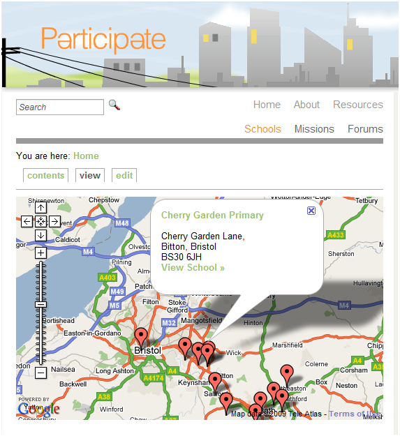
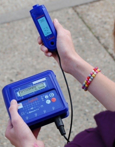
Schools use the ‘Participate’ web site to collect and share their experience of the project together with the ability for pupils to generate data visualizations in Google Earth and Google Maps, prepare online posters and presentations and upload short videos. Examples of the web interface, equipment and work done by schools to date is shown.
Keep in touch
We would love to keep you up to date with all of our latest news, offers and new products.
If you would like to subscribe to our mailing list please click the button below.